Categorii: Neclasificate, Neclasificate
Varsta Recomandata: 6-8 ani, 8-10 ani
Limba: Engleza
Data publicării: 2015
Editura: Cicada
Tip copertă: Paperback
Nr Pag: 172
ISBN: 9781908714206
Dimensiuni: l: 21cm | H: 27cm | 1.52cm | 635g

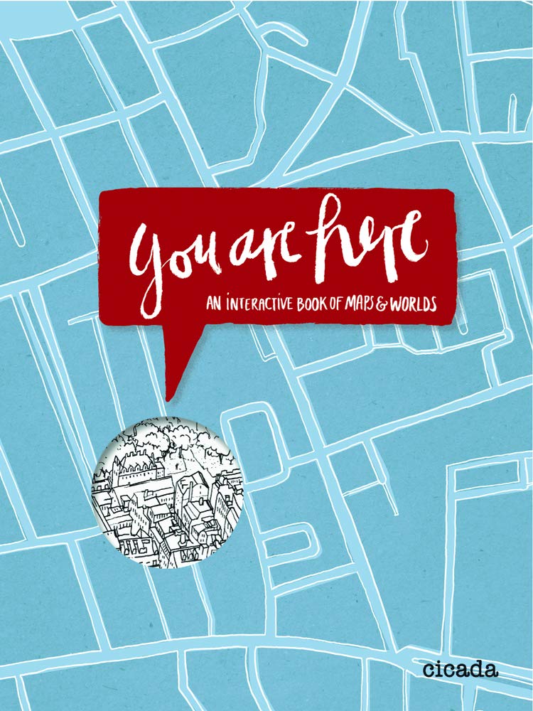
A captivating, illustrated introduction to map-reading and geography for a young audience. By drawing aerial maps of their room, navigating the streetmap of a city and comparing public transport systems, young readers will find themselves coming to grips with the fundamentals of map-reading. From there they will colour in world maps, identify cities, draw landmarks, learn about traditional foods, design their own flag, compare life expectancy and average annual income across the world, design pirate maps and fill in bar graphs of religion. Kathrin Jacobsen is a book designer and illustrator embedded in the East London design scene. Her warm, playful illustration style is reminiscent of that of Marion Deuchars and Thibaud Herem. The book is beautifully packaged, printed in four pantones on creamy paper. The cover is die cut and has a folder at the back into which is slotted an A2 gridded poster, on which young readers can draw their own world using the skills they have acquired.