Categorii: Diverse, Agende datate 12 luni lunare, Agende datate 2015/16/17/18
Brand: Paperblanks
Colectie: Early Cartography
Tip: Agenda
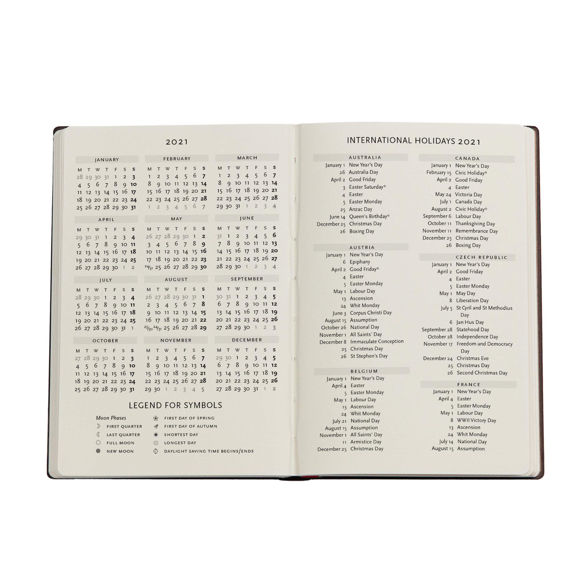
Perioada: Ianuarie 2021 - Decembrie 2021
Număr pagini: 176
Liniatura: Speciala
Tip copertă: Softcover
Material Coperta: Hartie
Tip Legatura: Cusatura
Țara de origine: Irlanda, Irlanda
Cod de bare: 9781439768921
Dimensiuni: H: 14cm | l: 9.5cm
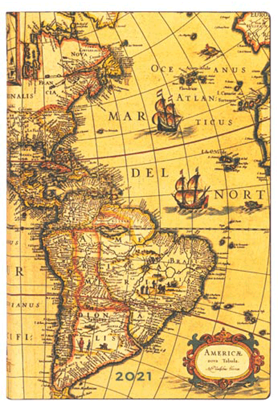
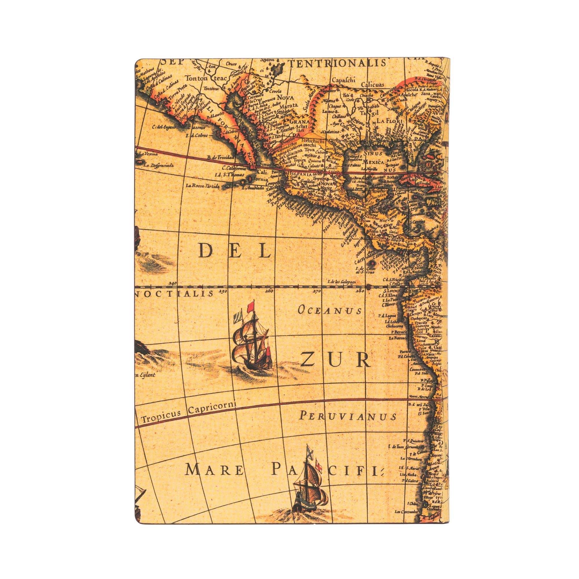
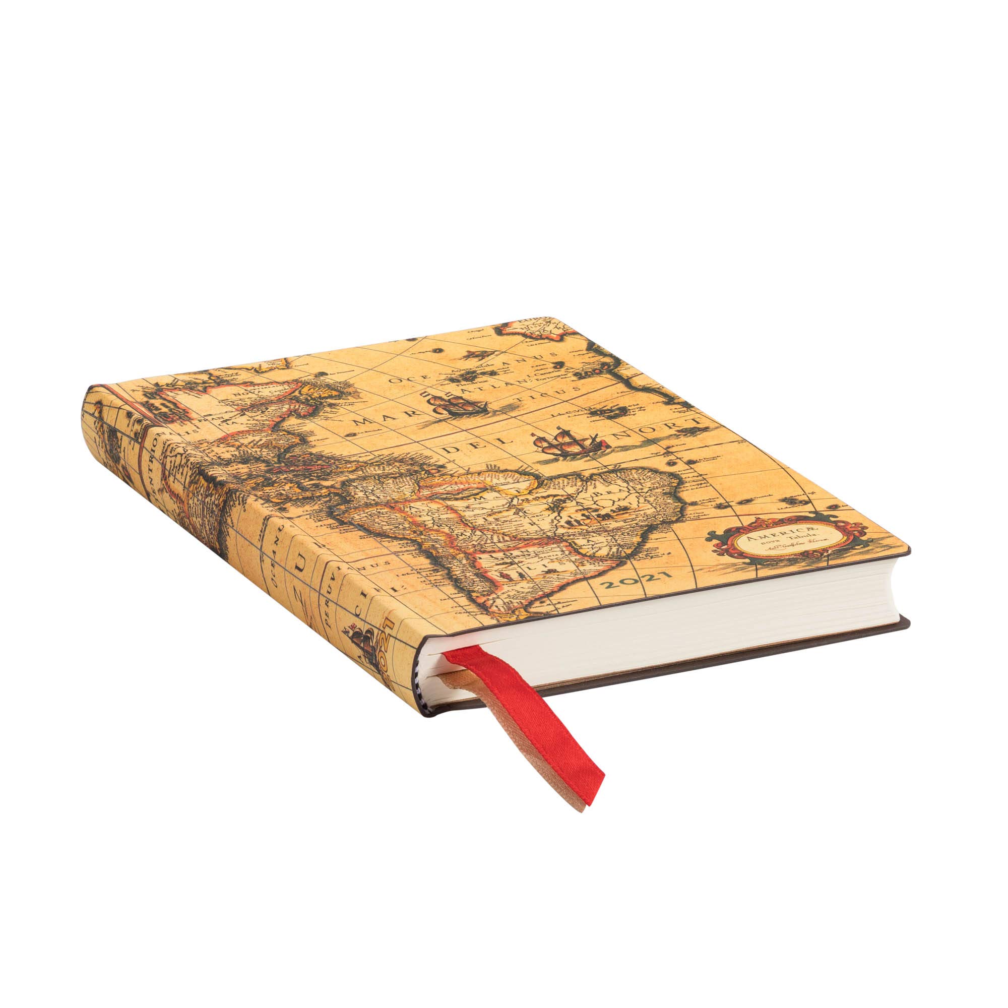
Here you can see the world through the eyes of Willem Blaeu, a 17th-century mapmaker who set the standard for map engraving, paper and colour quality. The original coloured copperplate map is one of the most sought-after maps from the Golden Age of cartography and is a fine depiction of Blaeu’s geographical knowledge.
It has been more than 25 years since we began this Paperblanks journey celebrating all eras of human artistry. To commemorate our quarter-century milestone, we looked back to the early days of our history and selected one of our original series to be re-released as a new retrospective edition.
First introduced in 1994, the original Early Cartography series included reproductions of four spectacular maps produced in the Dutch Golden Age, a period of the Netherlands’ dominance in seafaring, trade, science, military and art. With this new Early Cartography release, we are bringing back into the spotlight the skill and imagination of those 17th-century Dutch cartographers.
During the 1600s, this region of Europe was experiencing a cultural and economic boom largely spurred on by the Dutch expansion overseas. Enthusiasm for geography was felt across the whole of Dutch society. In this environment, mapmaking took on a greater artistic and decorative character. Cartography was now not only a source of essential practical tools; it was also a form of art that fused together scientific knowledge, accurate representation, aesthetic appeal and an individual mapmaker’s creative expression. Distinguished artists, engravers, typographers and publishers put the cities of Antwerp and Amsterdam on the cartographic map.
In the early 17th century William Blaue, an Amsterdam-based mapmaker and publisher, set the standard for mapmaking quality. Featured on this Western Hemisphere cover is his Americæ Nova Tabula, a realistic rendition of the outline of the Americas with detailed flourishes in the form of sailing ships, sea monsters and depictions of Native American life. A fine example of artistic grace and consummate skill, this map was also a reflection of the most up-to-date geographic knowledge of the time.
During the Dutch Golden Age, the best cartographers succeeded in creating maps equally able to serve a useful function and please art lovers. Along the same lines, we at Paperblanks have always endeavoured to create products that are as useful as they are beautiful. This makes our Early Cartography series re-release a fitting closure to the string of celebrations commemorating our 25th anniversary year.
MORE FEATURES
MATERIALS